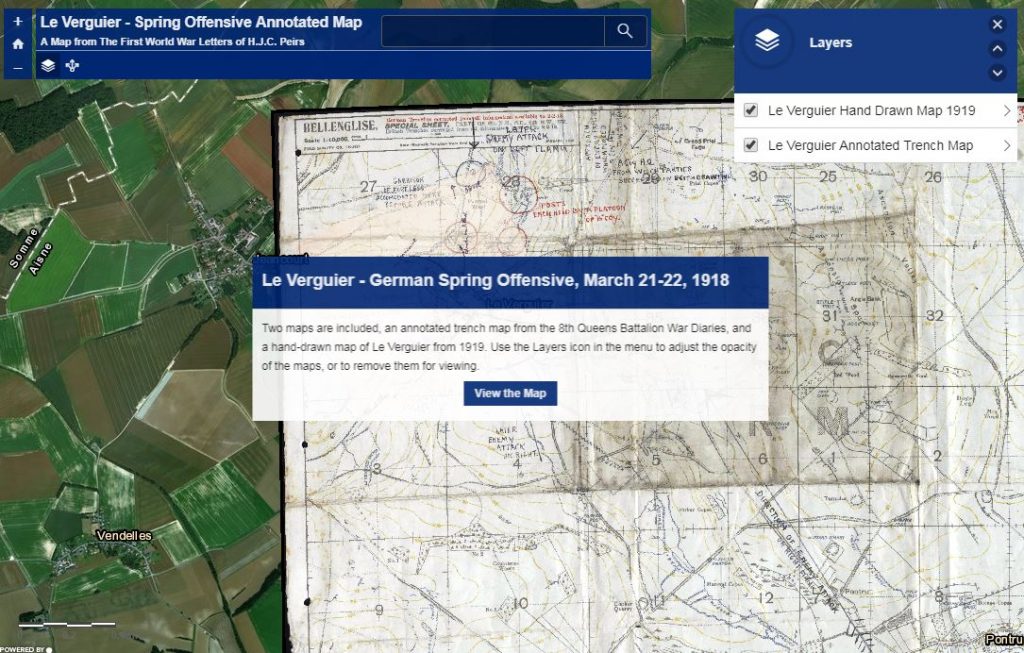
One of the most rewarding parts of working on the Peirs project is that we seem to always find something new about Jack and the 8th Queens. Recently, Team Peirs member Lizzie Hobbs came across an annotated map of the German Spring offensive at Le Verguier using Fold3, a database of military records. Originally part of the battalion war diaries digitized by the UK National Archives, this map shows the positions of the battalion headquarters as it moved during the fighting, positions of the companies, and the various German attack vectors.
While much of this information could be pieced together from other sources, and the team’s trip to Le Verguier in March 2018 also helped us understand the actions of the men of the 8th Queens and their German attackers, it’s fascinating to see a trench map annotated in this way. We’re thankful for our student colleagues support this project, mining online resources for material that is new to us and keeping the project vibrant. We couldn’t do this work without them.
While the map on Fold3 is only available via subscription, we’ve created an interactive web-based version using the same mapping techniques we used in 2018, only this time, using the annotated trench map included in the war diaries. For reference, the 1919 hand-drawn map of Le Verguier by mayor Charles Severin is also included.

